On Christmas morning Richard, Peter and I took Monty for a dog walk we left the little house into the county and drove into Banbury parking near M&S at the Banbury shopping park on the east side of the Marks and spencer shop there is a foot path to Chacombe 2 Miles we joined the footpath and followed the river cherwell East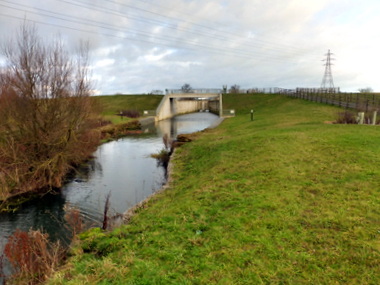
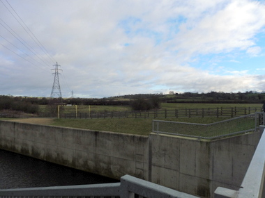
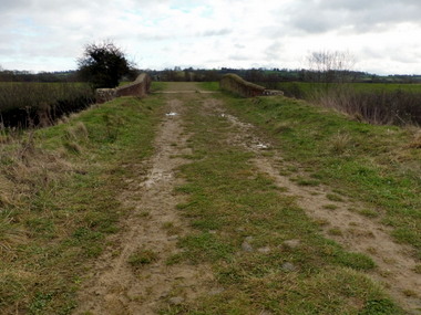
Walking under the M40 and onto the Banbury Flood Alleviation Scheme.
The flood alleviation scheme consists of five major elements: 1) a large flood storage reservoir upstream of Banbury, 2) a key highway with raised elevation into the community, 3) new earth embankments, flood walls and pile walls in strategic locations, 4) a new pumping station and 5) a bio-habitat, complete with ponds, trees and hedgerows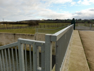
A local borrow pit provided 100,000 cubic meters of earth needed for the reservoir embankment. Limestone blocks discovered in the borrow pit were used as an alternative to stone-filled gabion baskets in the river, or crushed to provide granular material for the haul roads. This removed the need to import material.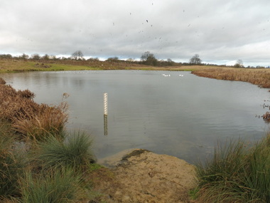
A local borrow pit provided 100,000 cubic meters of earth needed for the reservoir embankment.
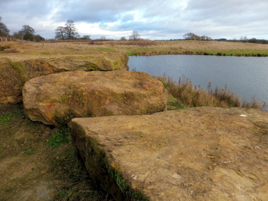 Limestone blocks discovered in the borrow pit were used as an alternative to stone-filled gabion baskets in the river, or crushed to provide granular material for the haul roads. This removed the need to import material.
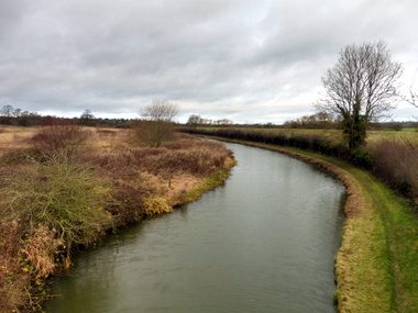
The Oxford Canal looking north
canal bridge 159
Canal bridge 159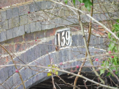
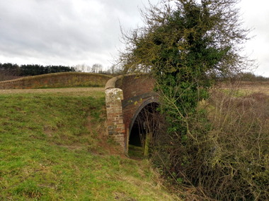
I noticed two bridges in the landscape one crossing the Oxford Canal number 159 and a second
Iron bridge crossing the river Cherwell upon closer inspection this was the former Great Central railway line from Banbury to woodford Halse This 8 and a half mile double track line financed by the GWR left the GCR main line just south of woodford hales it has two intermediate holts Eydon road and chalcombe road and opened to freight traffic on 1 June 1900 followed by passenger services on the 13 august. The branch line soon became part of the east-west cross county corridor with Banbury at it centre. During the second world war the lined handled huge volumes of freight traffic and in 1940 more than 700,000 wagon loads were processed at the GCR Banbury exchange yard the line closed in 1966